Isle of Fire | Part 1 | A volcanic eruption begins
Tectonic Hazards Knowledge Booster
Developed in partnership with





Course links: GCSE • IGCSE • A-level • IA-level • IB • National 5 • Higher Geography
Contents
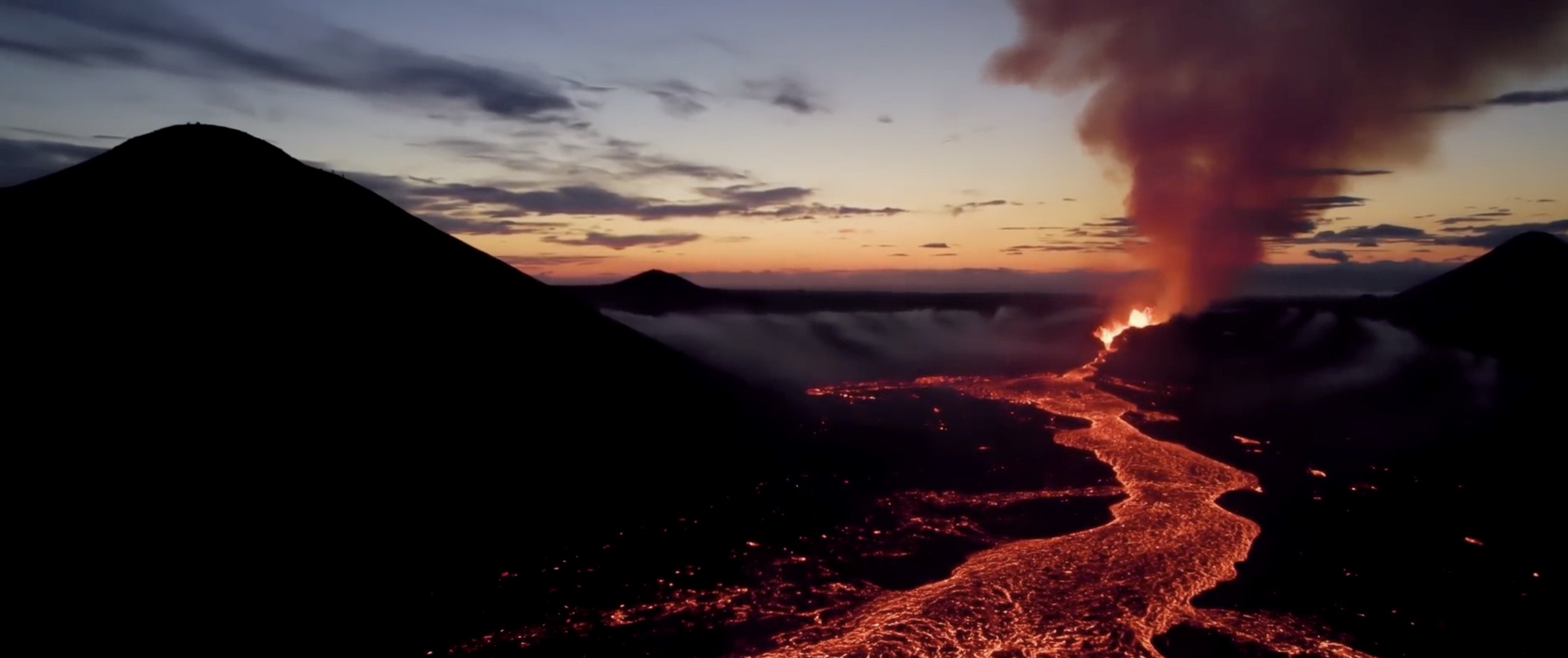
As the world's population grows, communities in volcanic regions increasingly depend on lessons learned from the study and management of past eruptions. This is evident from examples of the successful management of recent eruptions on Iceland's Reykjanes peninsular.
In this series of videos, we team up with leading volcanic hazards experts from Swansea University, the University of Leicester, the University of Liverpool and Manchester Metropolitan University, to tell the story of one of the most important eruptions in the history of volcanic hazard management: The 1973 eruption on the island of Heimaey in southwest Iceland. By taking a unique, 50-year perspective, we explore the causes of the eruption, its primary and secondary impacts, and the short- long-term responses. Building on this understanding, we then investigate how geoscientists today monitor and predict volcanic eruptions, and manage volcanic crisis scenarios.
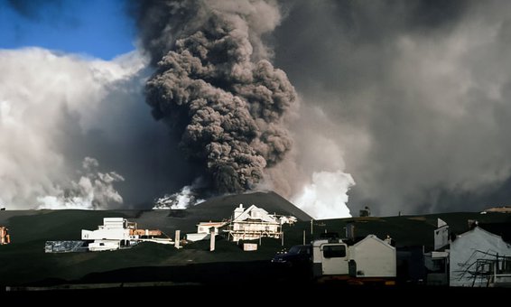
In this first video, we go back to 23 January 1973, to discover how Iceland's tectonic processes produced an effusive, fissure eruption, that forever changed the lives of a small island fishing community.
To develop this series, we teamed up with leading education travel provider Rayburn Tours. To find out about inspiring geography trips to the island of Heimaey, visit Rayburn Tours | Group travel and school trip specialists since 1965.
Acknowledgements
Written and developed by: Rhian Meara, Rob Parker, Josh Carron, Emily Bilbie, Catherine Rule, Marc Reichow, Tim Parker, Nicky Astle, Janine Kavanagh, Jane Boygle, Iestyn Barr
Attributions
Special thanks to:
- • Gylfi Gylfason (Just Icelandic) for providing wonderful drone footage of Grindavik and the Grindavik eruption.
- • Kevin Winters and Curtis J. Winters, for providing the Super 8 footage of the 1973 eruption.
Photographs of Heimaey from 1973, taken by Sigurgeir Jónasson, were provided by the Eldheimar Museum.
4K Aerial View of Reykjavik Iceland / part 2 by Jóhannes Már Sigurðarson is licenced under CC BY 3.0
NASA Scientist Reveals Greenland's Geologic Past by NASA is in the public domain.


