Isle of Fire | Part 4 | Monitoring and predicting volcanic eruptions
Tectonic Hazards Knowledge Booster
Developed in partnership with


Course links: GCSE • IGCSE • A-level • IA-level • IB • National 5 • Higher Geography
Contents
One of the major success stories in volcanoes research is the ability of geoscientists to forecast volcanic eruptions. Accurate predictions provide communities with early warnings that are vital to reduce the impact of these hazardous events. But do geoscientists monitor and forecast volcanic eruptions?
To investigate this, we team up with eruptions expert Professor Janine Kavanagh to simulate a volcanic eruption in the University of Liverpool’s cutting-edge volcanoes laboratory! We show the processes that take place deep underground in the lead-up to an eruption, and demonstrate how monitoring conditions on the surface can be used to predict the time and location of an eruption.
To develop this series, we teamed up with leading education travel provider Rayburn Tours. To find out about inspiring geography trips to Iceland and the island of Heimaey, visit Rayburn Tours | Group travel and school trip specialists since 1965.
Acknowledgements
Written and developed by: Janine Kavanagh, Rhian Meara, Rob Parker, Josh Carron, Emily Bilbie, Tim Parker
Attributions
Special thanks to:
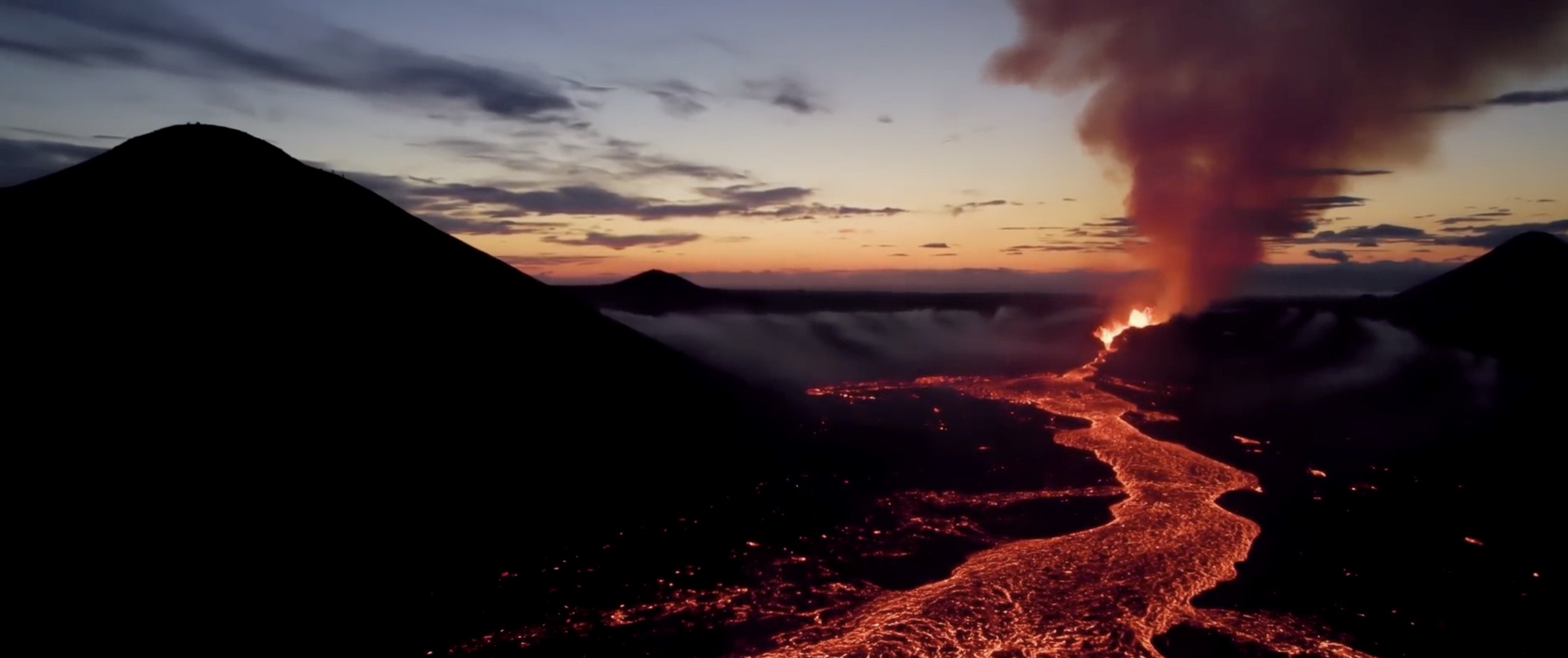
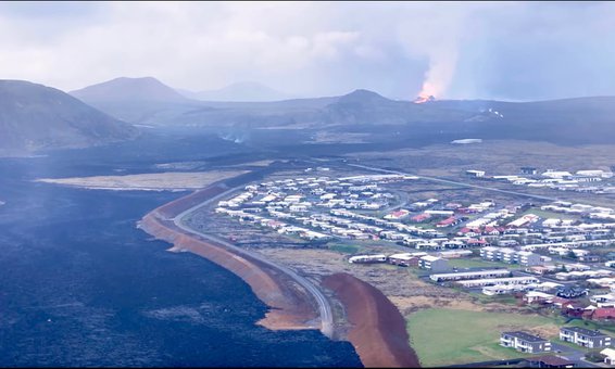
- • Gylfi Gylfason (Just Icelandic) for providing wonderful drone footage of Grindavik and the Grindavik eruption.
- • Kevin Winters and Curtis J. Winters, for providing the Super 8 footage of the 1973 eruption.
EROS Data Center Earth Resources Technology Satellite (ERTS) by USGS is in the public domain


