Understanding the environmental impact of volcanic ash by studying past eruptions
Tectonic Hazards Curiosity Booster

Developed in partnership with


Log in or sign up to manage your videos and for new video alerts
Log
in
Course links: GCSE • IGCSE • A-level • IA-level • IB • National 5 • Leaving Cert • Higher Geography
Description
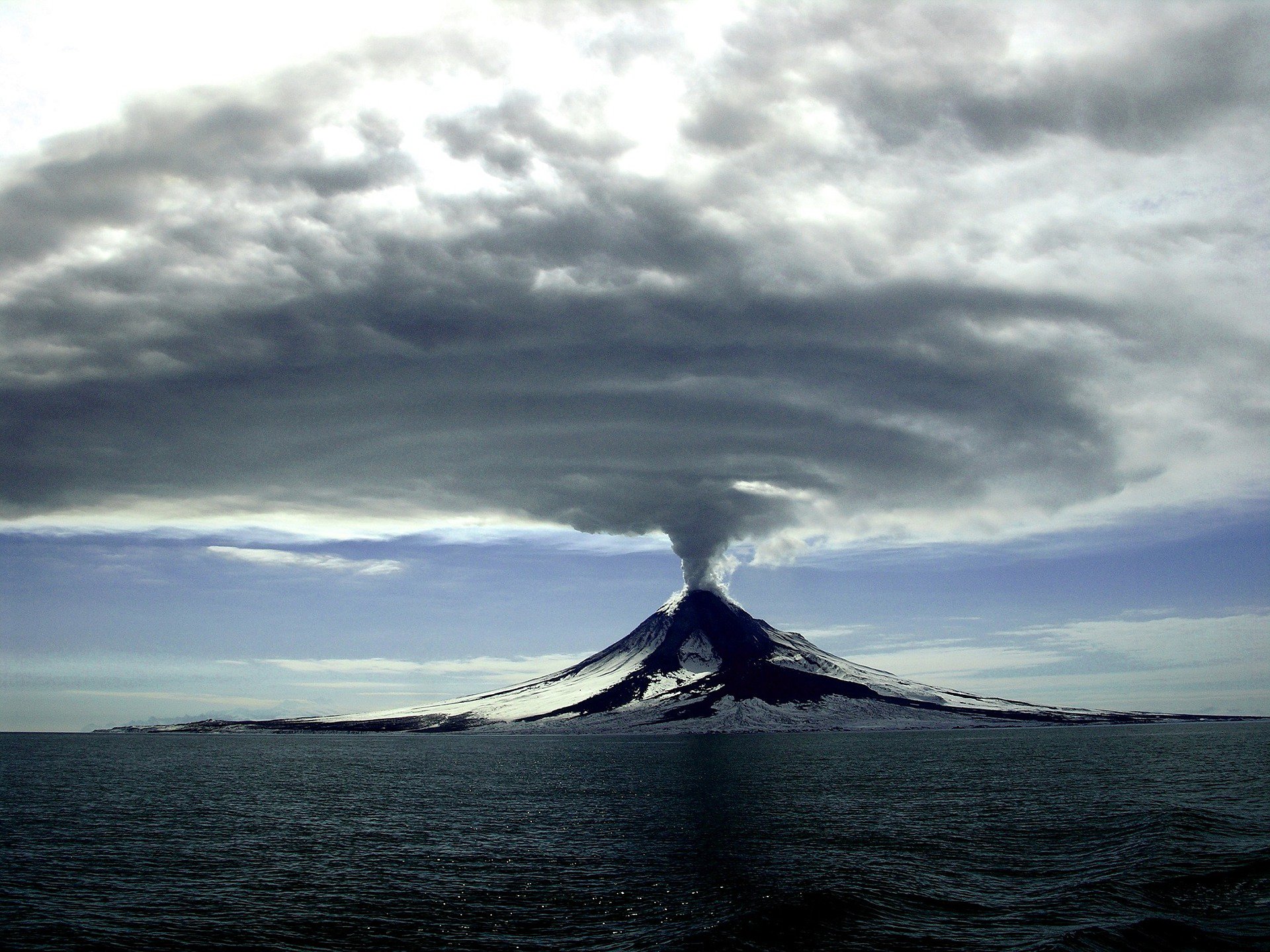
Investigating past volcanic eruptions helps geographers to understand future risks to people and the environment. In this video, we team up with Dr. Joanne Egan, to explore the impact of ash from the eruption of Mount Mazama 7,600 years ago, one of the largest eruptions in North America in the past 10,000 years. We discover how ash affected environments and ecosystems across North America, and imagine what a similar event today might mean for society.
Acknowledgments
Produced by: Ellie Barker (The Curious Geographer), Joanne Egan, Josh Carron, Rob Parker
Attributions
Explosive eruption from Halema`uma`u video is in the public domain.
October 7, 2021 — Kīlauea volcanic vent video is in the public domain.
September 29, 2021 — Kīlauea eruption central lake fountaining video is in the public domain.
Mount Rainier Lahars: Hazards for the Puyallup and Nisqually River Drainages video is in the public domain.
Debris flow monitoring at Chalk Cliffs, CO (2016) video is in the public domain.
Littoral explosions at Waikupanaha entry video is in the public domain.
Kīlauea Volcano — Summit Eruption (May 24, 2018) video is in the public domain.
Ashfall onto crops image is in the public domain.
Moderate ash on corn crops from eruption of Tungurahua, Ecuador, 2007 mage is in the public domain.
Eyjafjallajokull volcano image by klikk is licensed from Shutterstock
Log in or sign up to manage
your
videos
and for new video alerts
Log
in