Using GIS to manage water resources
Resource Management Curiosity Booster

Developed in partnership with


Log in or sign up to manage your videos and for new video alerts
Log
in
Course links: GCSE • IGCSE • A-level • IA-level • IB • National 5 • Higher Geography
Contents
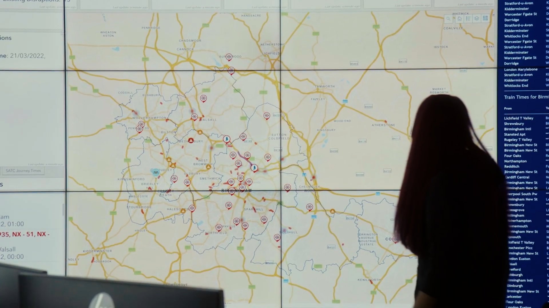
Geographic Information Systems (GIS) are powerful computer systems used in geography to capture, store, analyse and present spatial data on maps. In this video, we team up with Dr Harry West to explore how geographers using GIS to address real-world problems in water resource management. We explore:
- • How GIS can be used to understand connections between large-scale climate systems, regional rainfall patterns and flooding.
- • The use of remotely sensed imagery to monitor water supplies and manage drought conditions during the Day-Zero crisis in Cape Town, South Africa.
Acknowledgements
Written and developed by: Harry West, Ellie Barker, Rob Parker, Josh Carron, Katie Hall, Addy Pope. With thanks to the Met Office Press Team.
Attributions
Thank you to the Met Office Press Team for permission to use the meteorological and forecasting visuals shown in this video.
Thank you to ESRI UK for contributing footage and GIS visuals shown in this video.
Aquarius studies Ocean and Wind Flows by Lori Perkins is in the public domain.
Swarm Technology in Space with NASA's Starling Mission by NASA is in the public domain.
Cape Town: Notes from the future by Rosa-Luxemburg-Stiftung is
Shopping Cart Icon by apien is downloaded from flaticon.com
Supermarket Map Marker by André Luiz Gollo is downloaded from flaticon.com
Caution free icon by Good Ware is downloaded from flaticon.com
Log in or sign up to manage
your
videos
and for new video alerts
Log
in