Investigating river channel morphology
Rivers Fieldwork Booster

Developed in partnership with


Log in or sign up to manage your videos and for new video alerts
Log
in
Course links: GCSE • IGCSE • A-level • IA-level • IB • National 5 • Higher Geography
Contents
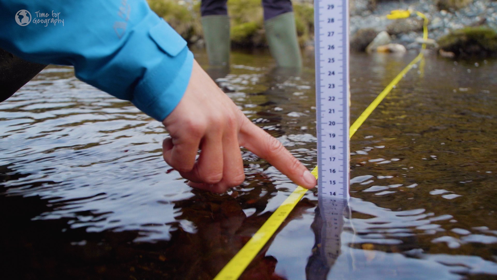
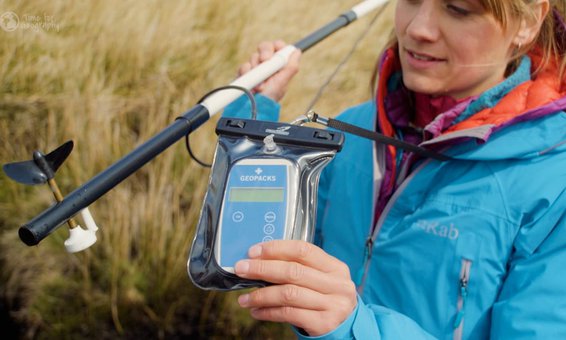
The shape or morphology of a river channel controls how much water it can carry and how fast it flows. In this video, we team up with fluvial geomorphologist Dr Hywel Griffiths and fieldwork specialist Sam Hawkins, to explore how we can investigate this in the field by measuring the width, depth, wetted perimeter and slope of a river channel.
Acknowledgments
Written and developed by: Nick Lapthorn, Janine Maddison, Sam Hawkins, Hywel Griffiths, Rob Parker, Harriet Ridley, Tim Parker.
Videography by: Aaron Ealing-Vose, Harriet Ridley, Emilie Bilbie, Rob Parker.
Attributions
Streamflow Gaging Station and Measurement on San Pedro River, AZ by the USGS is in the public domain.
Connect the Drops with NASA Data by NASA in the public domain.
Erosion by the USGS is in the public domain.
Robert Manning (1816-1897) is in the public domain.
.jpg)
Mungallala Animation AEP1pct by QFMP is licensed under CC BY 3.0.
Exposed riverbed by DS Pugh is licensed under CC BY-SA 2.0.
Log in or sign up to manage your
videos
and for new video alerts
Log
in