Anatomy of a drainage basin
Rivers Knowledge Booster

Developed in partnership with


Log in or sign up to manage your videos and for new video alerts
Log
in
Course links: GCSE • IGCSE • A-level • IA-level • IB • National 5 • Higher Geography
Contents
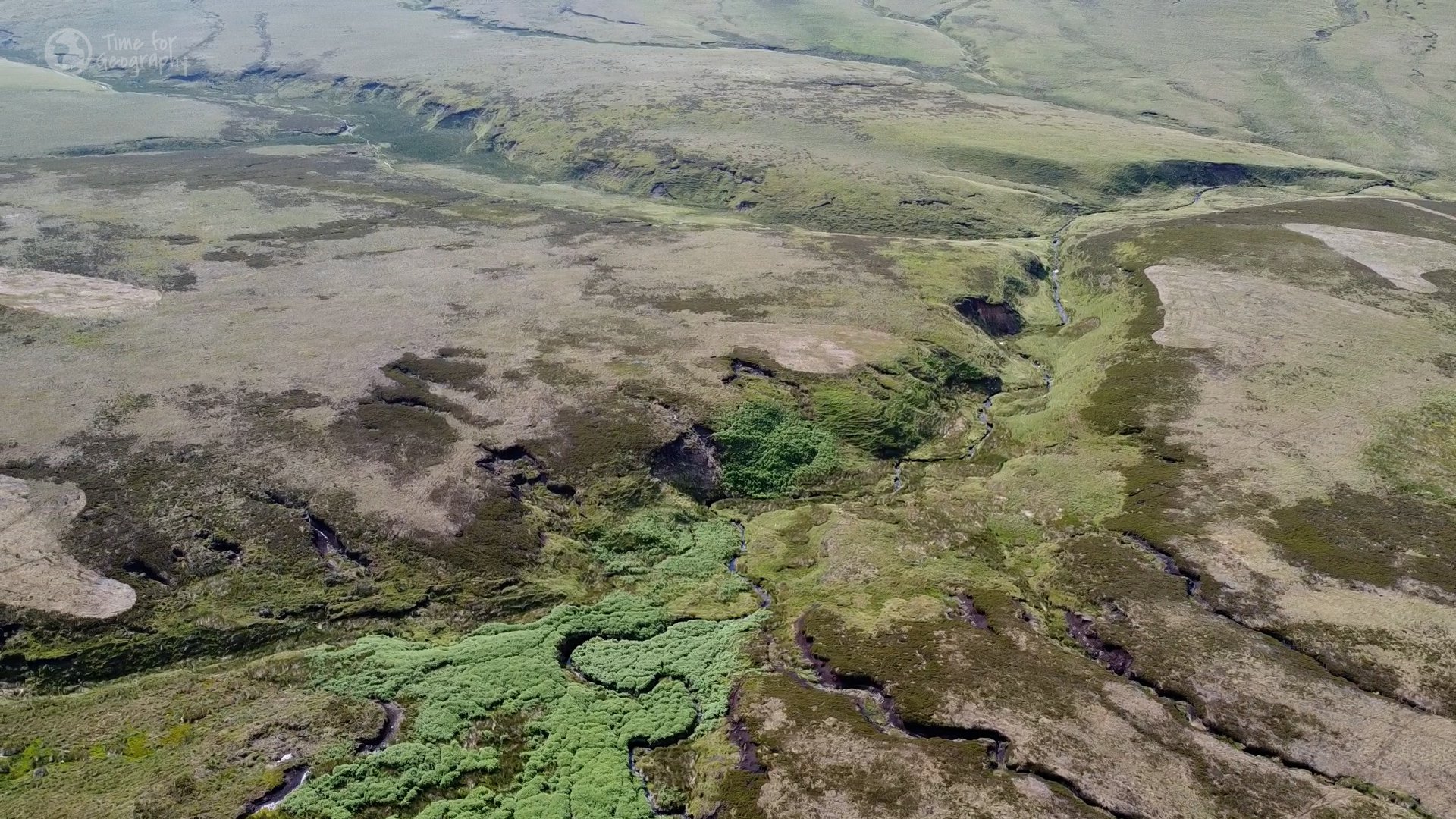
An important part of how we study rivers is by dividing landscapes into drainage basins: areas of land that drain water into a common outlet, such as a lake or the ocean. In this video, we team up with fluvial geomorphologist Dr Chris Parker, to explore the different parts of a drainage basin:
- • Drainage divide / watershed
- • River network, including sources, tributaries and confluences
- • River mouth / outlet
Acknowledgments
Written and developed by: Chris Parker, Harriet Ridley, Rob Parker, Tim Parker, David Morgan, Addy Pope
Videography by: Emily Bilbie, Harriet Ridley, Rob Parker.
Special thanks to digital cartographer Robert Szucs of Grasshopper Geography for the use of the Global Drainage Basins map.
Attributions
Humber Estuary Changing Views Master by Kristian Barrass is licensed under CC-BY-3.0.
Where the North and South Tyne meet by The Power and the Water is licensed under CC-BY-3.0.
Small Trickle by marco_luzi is licensed under CC-BY-3.0.
The Rivers of the Mississippi Watershed by Scientific Visualization Studio is in the public domain.
Log in or sign up to manage your
videos
and for new video alerts
Log
in